The latest DLC of Horizon Forbidden West features its own version of LA’s Map to the Stars, taking you on an epic flight journey across Burning Shores. You’ll discover several photo opportunities of real-life locations, from the Santa Monica Pier to the Griffith Observatory. So, if you want to search for these destinations, here’s how to recover all Aerial Captures in Horizon Forbidden West: Burning Shores.
All Aerial Capture Locations in Horizon Forbidden West: Burning Shores
The Aerial Capture mission requires players to follow a pathway with their Focus using a flying mount, like the Waterwing. However, you must locate the Improvised Transmitter first to unlock the flight path and activate the Aerial Capture (be sure to stick to this path to avoid losing your way). You can visit these locations at any time to get a deeper look into what the world was like before the castostrophic uprising of the machines.
To earn the Recovered All Aerial Captures trophy of Horizon Forbidden West: Burning Shores, you must unlock six areas throughout the map.
Burning Shores Aerial Capture: North Location
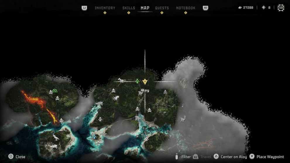
At the top of the Burning Shores map, you’ll spot a purple glow with your Focus near one of the Devotee Outposts. Players must interact with the Improvised Transmitter to trigger the waypoint to the Aerial Capture, which will be below this initial location.
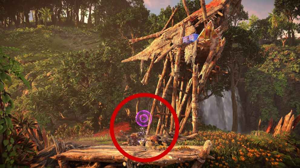
You’ll see a ring in front of you, and you must fly through it with a flying mount to start the flight path. Once players begin this adventure, they must follow the pathway presented to them until they reach the broken building of the real-life location of Capital Records.
Burning Shores Aerial Capture: Northeast Location
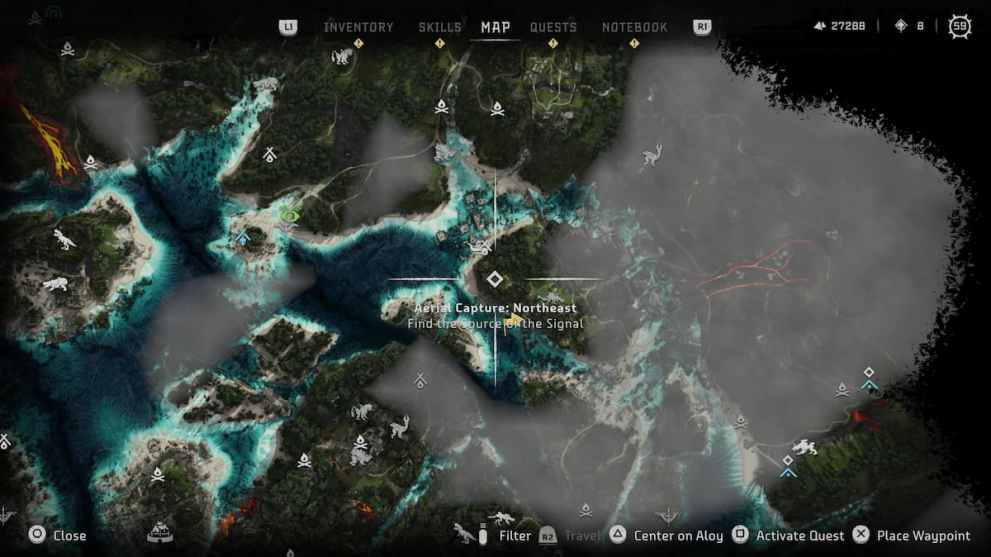
Players can find the following Aerial Capture of Burning Shores to the right of the north destination below the shelter and Skiff area. The Improvised Transmitter will be on top of some rocks, and the trail will lead you to Griffith Observatory.
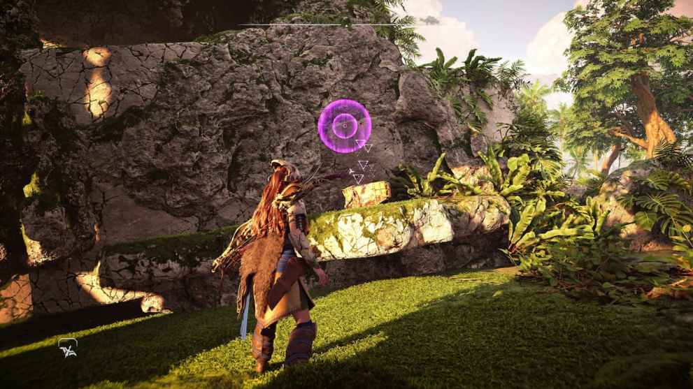
Burning Shores Aerial Capture: East Location
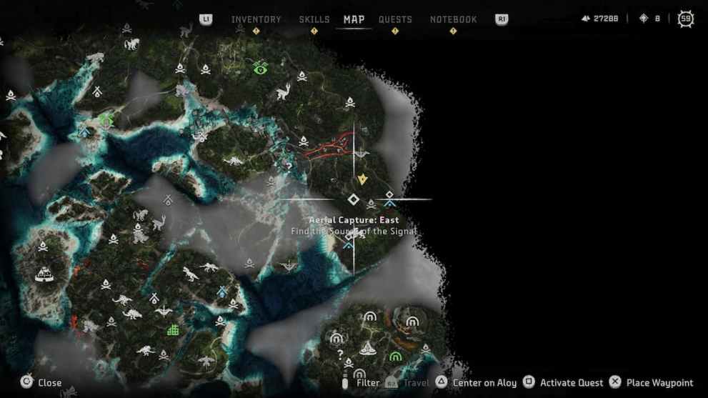
The Aerial Capture: East waypoint is located near the Theta Cauldron, where players will examine the next transmitter on a building.
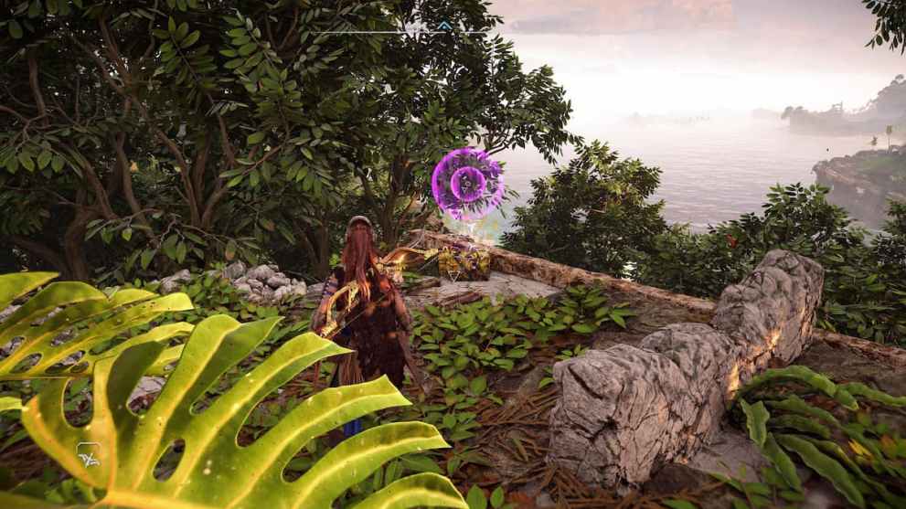
The route will begin at Pangea Park, and you’ll need to activate the Aerial Capture once again to complete this destination.
Burning Shores Aerial Capture: Northwest Location
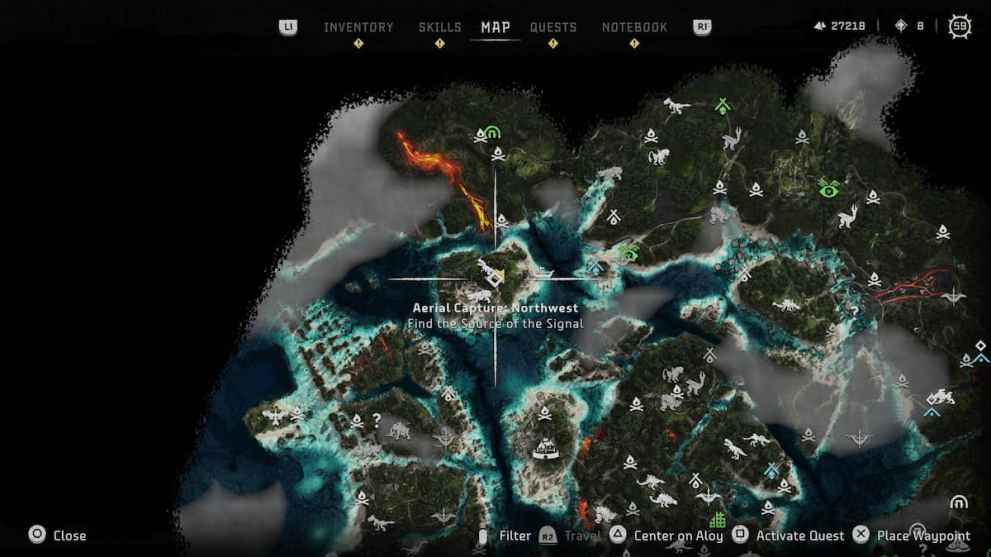
The next Aerial Capture is on an island under Heaven’s Rest. However, you must use your flying mount to grab the metal clamp in order to access the Improvised Transmitter within a building.
Burning Shores Aerial Capture: West Location
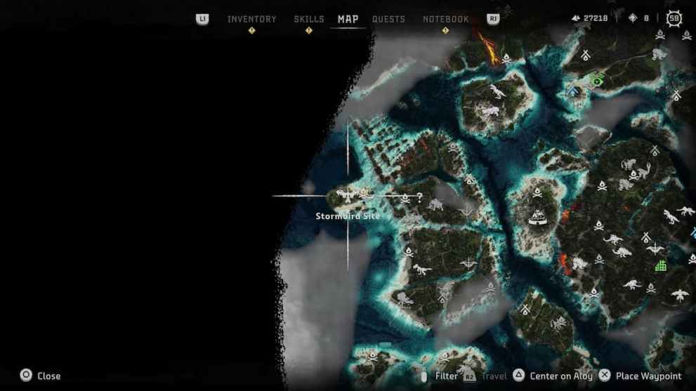
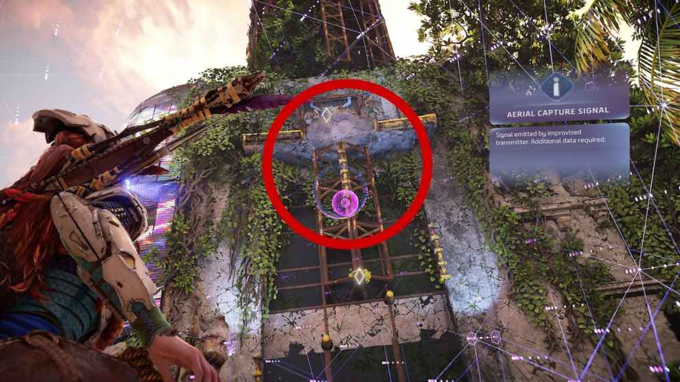
The West Aerial Capture location features a different objective that mandates you to follow the path of a Stormbird. Players must travel more inland to unlock this trail and use their flying mount to find the creature (use your Focus). Unfortunately, this track will guide you into a storm of clouds, so you must go through this location carefully until you get shot down by the Stormbird’s projectiles.
Once players scan the enemy, they’ll learn that it is an Apex variant of a Stormbird, a more robust version of these machines. You can check it to pinpoint its weak points and utilize Acid and Plasma Damage to get rid of it quickly.
The waypoint for the Burning Shores Aerial Capture: West location will unlock after you defeat the Stormbird, providing you with the transmitter and the flight path. But, if the opponent has taken out your flying mount, you can go to the nearby Waterwing habitat.
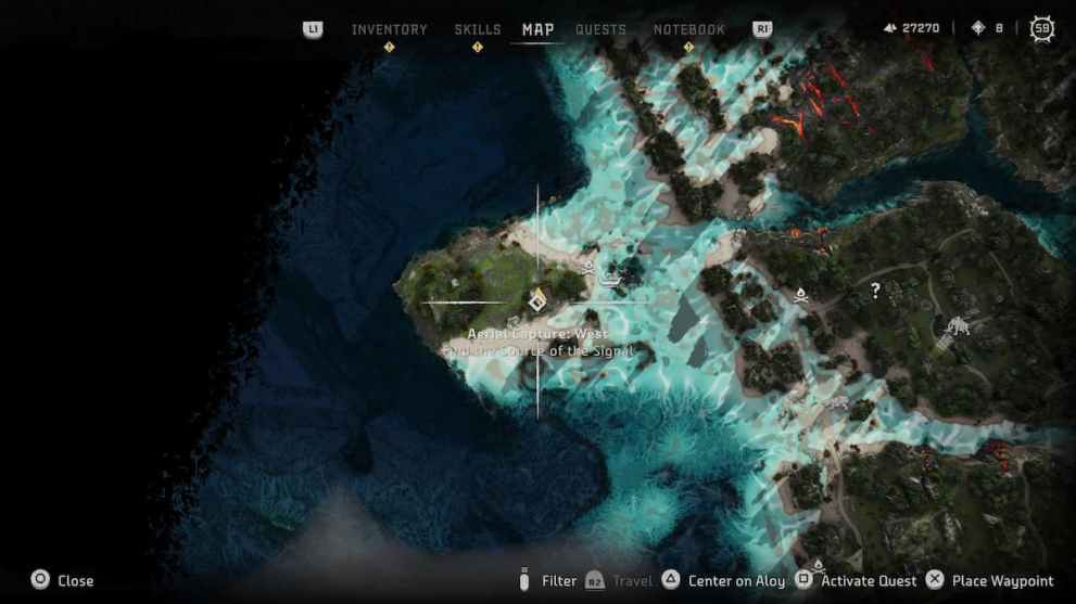
Burning Shores Aerial Capture Location
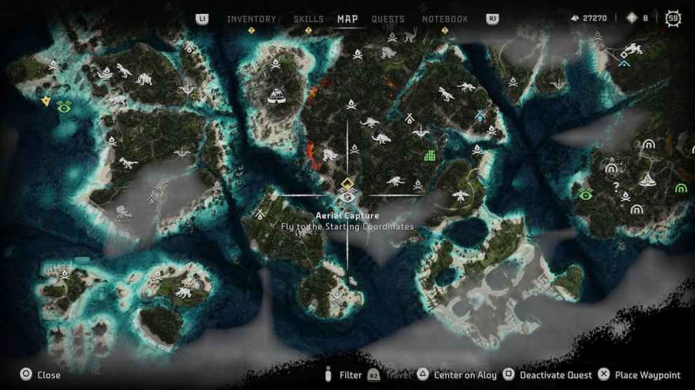
One of the last Aerial Captures will unlock after you defeat the Stormbird at the west destination. It’s relatively simple to complete this task since a pathway is already laid out before you without needing the Improvised Transmitter. In return, players will gain the Recovered All Aerial Captures trophy and learn more about what happened to Burning Shores during the Faro Plague.
That does it for our guide on how to recover all Aerial Captures in Horizon Forbidden West: Burning Shores. For more content, be sure to explore the relevant links below, including how to find the Last of Us 2 Toy Bow.




Published: Apr 23, 2023 09:19 pm